


paconlacellars
-
Posts
29 -
Joined
-
Last visited
Posts posted by paconlacellars
-
-
I always thought the cache separation distance must be at least 161 metres from another cache or stage containing placed info, regardless of terrain. Another thing to remember is that the accuracy of cache placements on Google Earth varies considerably. I have had cachers complain that one of my cache hides was out by over 60 metres based on their 'found it' location and the GE visual.
-
As my phone does not have a data plan cache info is not availble outside of wifi reception areas. Storage for cache data is a must!
-
I hadn't thought about the 24 bit issue. I went back to the original image (greyscale at 8 bits single channel) and cropped a different area. Using an older version of Paint Shop Pro Photo X2 Ultimate, I increased the colour depth to RGB-8 bits per channel. Next I set the max pixel dimension to 1024 and reduced the resolution from 1814 ppi to 200 and saved as a Standard Encoded JPG. Geo-referenced on GE and transferred the resulting KMZ file to the Oregon. The image was perfect! Thanks for the help on this - most appreciated!!!
-
Is your image less than 1 MB in dimensions? I can't be sure, since the file sharing site you posted it at may have reduced the resolution of the image vs. what you made the KMZ from.
See my detailed discussion on that topic here:
http://forums.Groundspeak.com/GC/index.php?showtopic=307548&st=0&p=5210779&fromsearch=1entry5210779
And I have another discussion on the same topic here:
http://forums.gpsfiledepot.com/index.php/topic,3439.msg19943.html#msg19943
If that isn't the problem, then I'm somewhat stumped. Never heard of your particular problem. Can you post the KMZ file somewhere so we can have a look at it?
Dave
Here is the link to the image info: http://photoshare.shaw.ca/view/1918167108-1377192254-14076/. I have also included a screen capture from the Oregon. The original image files were deleted so I made another set.
-
-
I have an older aerial image (1946) of the Gowland/Todd area and wanted to geo-reference it so I could load it onto my Garmin to assist in mapping some of the buildings that used to be on the site of the cement plant. I’m not sure why other JPG’s will not work (final KMZ image displays ok on BaseCamp but is a black rectangle on the Garmin). I have save the image using several imaging programs and with every setting option I could find but without success. A raw unprocessed image was the only one that would load successfully.
1. View image full screen on image viewer (preprocess the image to size, contrast, density, gamma, etc).
2. Make a screen capture using Snip It or similar tool and save to desktop.
3. Open Google Earth to same location and at similar scale as the image area.
4. Click on Add|Image Overlay and assign a name – no spaces or characters.
5. Browse to your image on the desktop and add.
6. Adjust transparency level as needed and grab the green corner to adjust image to fit. Rotate using the green diamond on the left of the image. You will need to adjust each of the 4 corners several times.
7. When satisfied with the overlay click on Altitude tab and set the Draw Order to ‘0’. Setting above ‘50’ gives the image priority and the map info may not display through the image. Click OK.
8. Image layer should now be listed in the Places listings on the left. Right click on your new layer and select Save Place As… You can save directly to your Oregon if it is connected or to any other folder on your PC.
9. If the image layer is not displayed try checking to see if it is enabled (Setup|Map|Map Information Select Map).
10. The image file can be opened as a layer on BaseCamp as well.
-
I have a jpg image that I geo-referenced using Google Earth. The resulting KMZ file displays great on BaseCamp but appears as a black rectangle on my Oregon. I have the map file setting enabled. Am I missing something?
-
I have been using the Garmin Export macro on GSAK for several years and have been very happy with the results. For a long trip where internet access is doubtful I run PQ's of my route. After loading to GSAK I run a filter defining a route, city or area and to clear out cache types I am not interested in (extended multicaches, unavailable, etc.) This subset is then sent to the GPSr using the Garmin Export macro. Each export file is assigned a name during this process in case I need to update one later on when internet access is available. On the occasion when my cache total exceeds 5000 I have added them to my cell phone SD in a folder called Garmin and I am able to switch over when needed. I also carry my ancient netbook with me to update these files when I can.
-
Great stuff! I will add it to my Oregon. Thanks!!
-
So what is your best source in NC or SE USA? The ones I find in drugstores are a bit too big
Up here I get them in the craft section of dollar stores.
-
Garmin 450.
-
As I only use GC.com, I used the manual process to add the images. Works great! Although the ability to load the images to the SD card would be an asset.
-
Just upgraded to the new GSAK that includes a new featue to publish logs. After a little unease I dug around and published my first day/'s finds. Went in without trougble, berified they'r erecorded.
However...
I like to cache with a few hitchikers in my bag, that I dip into each cache as I log it.I could not find a way to enter that info into GC.com. Am I missing something or is it not (yet) a supported feature?
I use DipTB.gsk to log my TB. It can olny log one TB but you might be able to set up more than one macro and rename each to the specific bug you want to log. Make sure only the caches you visited are in the filter or your TB will end up being listed everywhere!
-
All I get is "The Update File is Corrupted."
Poor connection between pc and 450. Upgrade works fine
 .
. -
All I get is "The Update File is Corrupted."
-
On the 450: Setup|Tracks|Track Log|Record, Do Not Show.
-
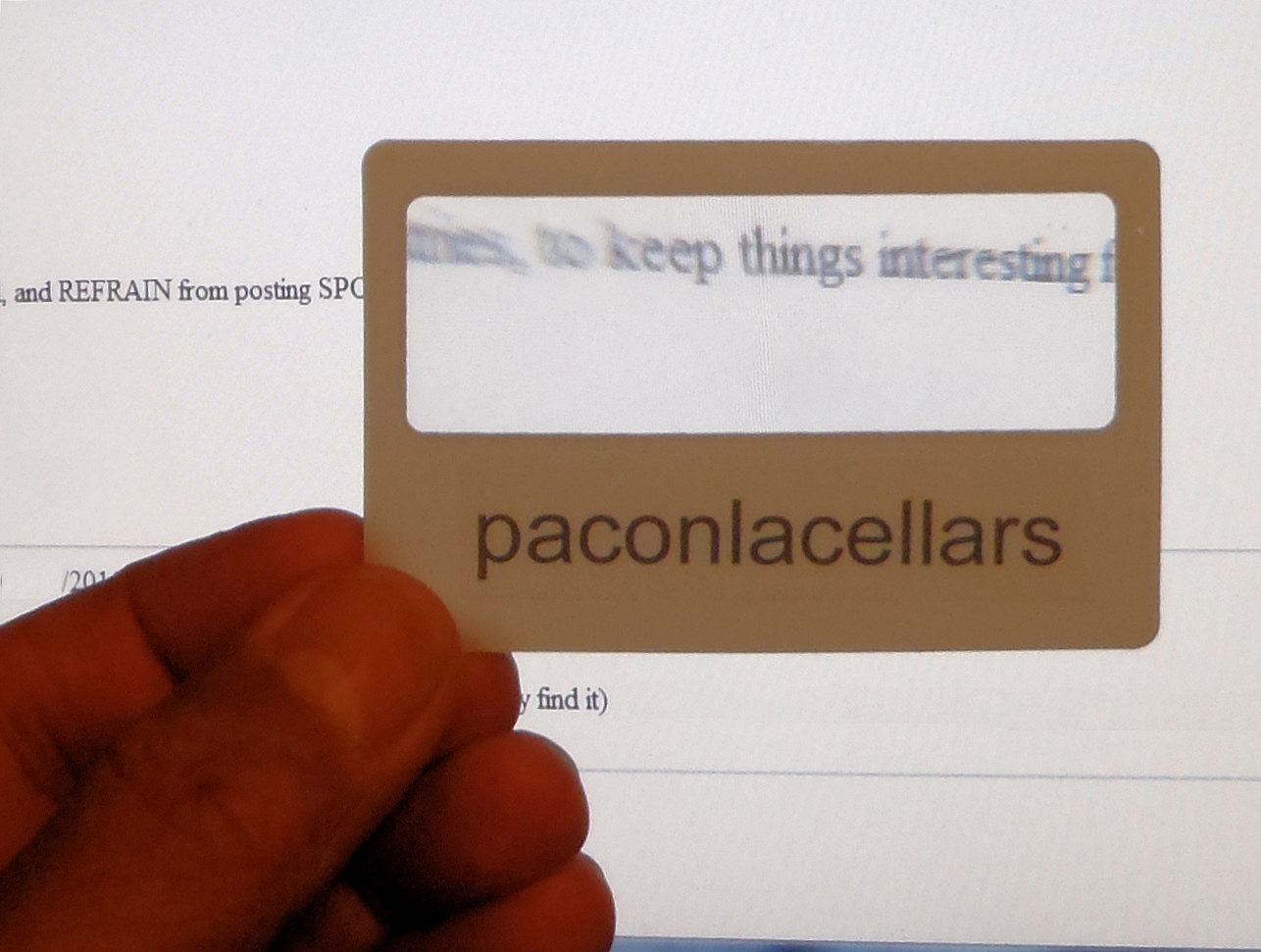
Credit card size magnifier with cache name added. Come in a variety of colours.
-
Found my solution: Tools|Compatibility View and added geocaching.com to the list.
(and greetings popokiiti! Sitting on the pc seems to be better than the Canucks game this evening...........)
-
Tried Firefox and everything works fine although the "Find User Routes Near Your Trip" page looks more than a bit different.......so much for IE9.....
-
My page doesn't have the sliders any more. My only change since the last query was created (several weeks ago) is that I have installed IE9.
-
I am unable to set the "Search Radius:" or "Show Me: caches on either side". There is no field to enter parameters into. Anyone else having this issue?
-
So many caches here on the Southern Island that we have to wait for some existing ones to be archived before we can post a new one......
And........you can cache all year!!!!!!
-
I recently found the tide charts that you can upload on top of maps and as a surfer, boy is it kewl! Downloaded for free from Garmin.
Always interested in such things!
I had a quick look in the Garmin Web Page but I must have missed the tide charts...do you have a link?
-
I've been using Palm screen protectors for several years on both my iPaq and my Garmin. They were on sale at a 'Liquidators' (12 sheets for $5). I cut them in half and one sheet coverrs both screens. Never had a problem with bubbles, peeling or visibilty. Maybe luck of the draw.......
PQ's and Offline Maps
in Official Geocaching® apps
Posted
I currently run 7 PQ's covering the same geological area; with each PQ filtered to only collect caches placed within a certain date range. It is my understanding that each List item I download to my Android App includes the same map data, adding considerable time to download each List. Is there a way to turn on/off this redundant information? If not, could it be added to future versions?