

stagunner
-
Posts
233 -
Joined
-
Last visited
Posts posted by stagunner
-
-
Hi we live on Cap Breton Island and travel to and from Ontario when we can.
MY wife drove from St Catherines in just over 24 hours, 2 drivers an a few rests along the way
We normally stop at family in Fredericton,,
in the summer the caches along the highways are pretty easy to get to , (Rest Stops)
other than that take your time and enjoy the trip.
plan on driving for 10-12 hours a day, should take a bit over 2 days if you are caching,,
from St Catherines to Fredericton can be done in 18 hours, 7 Hours from Fredericton to Sydney
We are beginning to prefer the trip through the US as is is pretty good driving. and takes about the same time
cross at Niagara, upper tier hwy in NY then cut across to Vermont,towards Maine,, a great trip and lots of roadside caches,, I can send a GPX of the route if you want
-
I tried this ourt a few weeks ago. works great
You can also load a GPX file into your Blackberry and navigate to it, then it will find the caches based on its location
-
-
I like this kind of new event activity, It would probably get more cachers together to do just that,, CACHING,, which is really what geocaching is all about,,
-
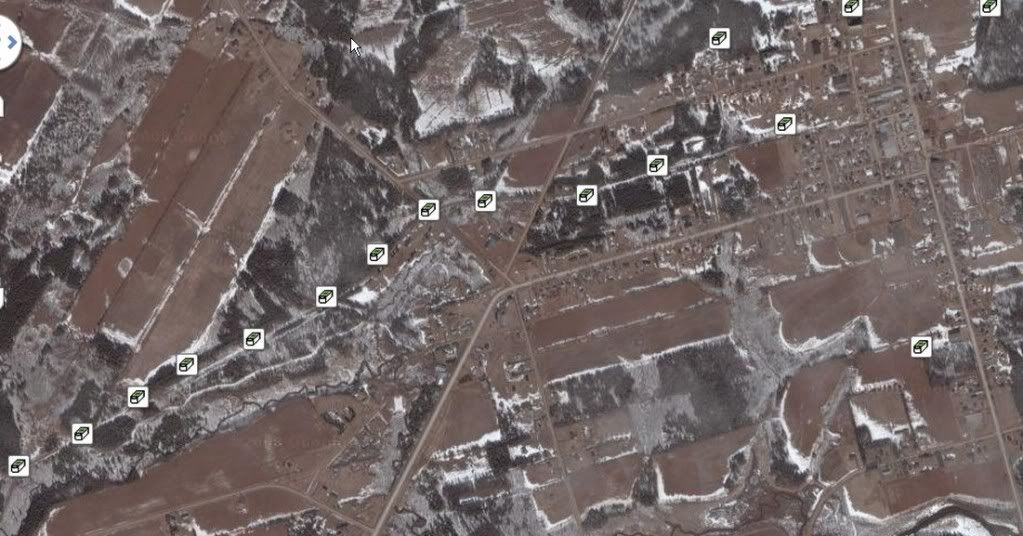
This one is in Sydney Nova Scotia
SECC - Cape Breton Coal Heritage Kick OFF
http://www.geocaching.com/seek/cache_details.aspx?guid=c9cd320a-0504-4f1c-9ff5-c1adbc74554e#
-
On the East coast we have had great success with the National Parks and geocaching, the rules are firmly in place and respected by all cachers.
The Atlantic Canada Geocaching Association has several cache challenges in Fundy National Park New Brunswick, Cape Breton Highlands National Park and Kejimkujik National Parks in Nova Scotia.
See http://www.atlanticgeocaching.com/ for all the details
-
As a retired Artillery Surveyor I had to rely on using map objects to determine my position on a map, we used Firm Map Detail of a spot that was permanent and identifiable on the map, crossroads were the best to use, and even then they only yeilded a map spot coordinate of about 25 metres accuracy.
we often tried to get it under 15 metres but that depended on the object used.
Most maps in Canada were updated in the late 90s to reflect WGS84 Datum amd even then there is so much new development that makes it hard t get an accurate picture of what is on the ground.
Old maps are great to find those old interesting places that have seemed to have vanished from the map but still there..
check here for Alberta map data some of it may be older Large PDF format,, http://www.ags.gov.ab.ca/GIS/download_gis.htm
-
Wading into the fray with a comment that will likely spur some other comment , but anyway
Groundspeak has allowed the listing of commercial places in its Waymarking.com site and this is not any different than naming a coffee shop on a Geocache page,,
WE can all follow the guidelines but there should not be any double standards,,
-
1 truck weigh scales
2 lane closures,, direction arrows are hidden on hinged siges
-
a new one
a very new 1
-
not many near the resort but a few near St Peters
heart of Dundee cache http://www.geocaching.com/seek/cache_details.aspx?wp=GC14DK6#
Celtic Caching at the beach http://www.geocaching.com/seek/cache_details.aspx?wp=GC1H5GE
These are the closest, it would be a great walk from the resort
-
-
Warning Sign "LUMBERJACKS CUT IN ROW ONLY!"
-
to get the best result limit your PQ to a smaller area, If you are going on a 500 km drive just break the route into small segments
Your PQ will yield more results
Easiest way is to use your mapping software and draw the route of the rail on it and then save it as a GPX file
Import the GPX file of the route and do the PQ
Caching along a route will not get the Railbed,, just city streets
-
The Cape Breton area Geocachers will host a fun filled day of geocaching fun at Mira River Provincial Park on 20 August 2011.
See GC2RNNP for more details.
I will be updating the cache page as we get more information.
-
We found the one in the far east, near Fortress of Louisburg National Historic site.
Thanks to all involved in getting this caching hunt set up
-
check the GSAK forums on this but I think some of the GPX data is sent when using one of the Macros and then you can link to the GSAK file for a waypoint
I use rMME.gsk Rushtons Memeory Map export macro
-
OGIDAKI?? WOW haven't heard that word since the late 70s when there was the Ogidaki mountain Genreal store on Queen St
-
Sault Ste Marie has some great caches, my last trip to my home town was 3 years ago, one planned for July,
I recommend the caches on Whitefish Island
centred on this cache
You will be able to walk around the Soo canal historic sight, perhaps see the lock in action, check out some Waymark sights too http://www.Waymarking.com/waymarks/WM4DRN_First_Sault_Ste_Marie_Canal
The weather will be nice but not to hot
Soo Michigan has some nice caches too
But have a good trip
-
1. What do you think are Canada's most notable treasures (we need 16)?
The fortress Louisbourg on Cape Breton Island
Signal Hill Newfoundland
The Confederation Bridge PEI
Hartland Bridge New Brunswick
The Citidel Quebec City PQ
Niagara Falls
Sleeping Giant Thunder bay
Head Smashed In Buffalo Jump Alberta
Roger's Pass
The Chilkoot Trail summit
2. What do you think is the most notable cache in each of the 10 Canadian provinces and 3 territories?
GCBBA Canada's First Geocache Nova Scotia
-
ok i apologise

-
I agree he doctored the original but good spot for the finder,,
how did this and other caches get published in the National Park??
I have been up 3 km of the trail in Winter,, snowshoing and then tobaganning for the last part.
Lots of snow, lots of avalanches, and I think I caused 30 or 40 on different occasions,
-
not found by a cacher but found in this game,, see a few posts up
-
Canadian Style Advice
in Canada
Posted
I have 2oo caches out now, and if someone can not honestly play the game then that is up to them,,
It is just a game,,,