


duncanhoyle
-
Posts
211 -
Joined
-
Last visited
Posts posted by duncanhoyle
-
-
I've found that editing the GME script provides part of the missing functionality (different maps) but the zoom on trad caches still isn't there.
Changing line 67 from
GME_page_plan = /\/hide\/planning\.aspx/.test(GME_page),
to
GME_page_plan = /\/hide\/planning\.aspx|\/hide\/typelocation\.aspx/.test(GME_page),
provides the missing maps
-
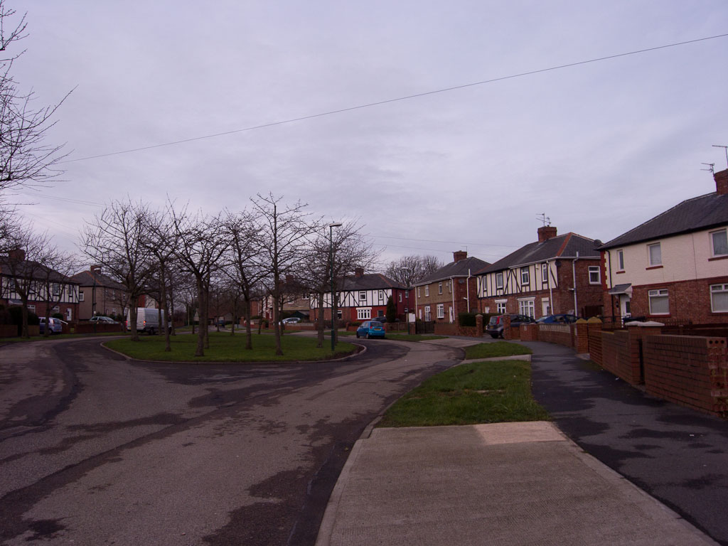
Is it possible to set GME so that it works on the new cache submission page? Currently there is no satellite imagery available in the UK at the only zoom level available for trad caches (and you can't zoom out either!) and the imagery for other caches is useless at the zoom level where you get any.
I've posted about the problem here but the responder doesn't see it as an issue
-
The map on the submission form is not supposed to be a replacement for good GPS coordinates or for the main map. That is why it intentionally does not have all of the functionality of the main map. Use it as a way to assess that you have entered your coordinates correctly rather than as a way to obtain or tweak your coordinates.
I realise that the submission map isn't a replacement for good coordinates but it certainly helps if I can confirm their approximate correctness when I enter them on the submission page.
If I have coordinates for a location where there are no roads and no features on the google road map (as I often do) then it is currently not possible to assess that I have entered the coordinates correctly. As an example, may I suggest that you try to create a traditional cache at 55°19.509'N, 2°30.208'W, which is close to a cache which I already own.
There are several issues here - the Google street map provides no information about that location as there are no streets there.
I cannot see any satellite imagery for that location as the service which you use provides no imagery for the UK at that zoom level.
I cannot change the zoom level on the map to allow me to view satellite imagery.
If I create any other cache type at that location then the first 2 issues remain. If I now zoom out 3 times I see satellite imagery but it is useless at this zoom level.
Currently the map on the submission page is useless in the UK for the sort of areas where I cache.
I thought that I would be able to assess my coordinates using the map on the cache page but I have found that without my usual Firefox add-ons that map is also not useful - it doesn't give me a satellite option. Without my Firefox plugin the only option I now have is to copy coordinates into google maps and view satellite data there.
I just tried creating test caches in France and Germany and found that the lack of satellite imagery issue occurs there as well, although a quick test shows that satellite imagery is available at all zoom levels in the US.
-
If you don't want to install GSAK and import gpx files then this page on ProjectGC works well for searching countries/region/area. There are extra filters to allow you to give centre location and search radius but some of them may be premium features.
The ProjectGC database isn't always completely up to date but it's close enough for this sort of search as you can then go in and check logs on individual caches
-
Thanks for the reply. I now have the country and region auto completing.
The map is a little strange. I usually have the maps on the site set to Leaflet and use a 3rd party plugin to provide me with a range of other maps including Bing Satellite Imagery. Unfortunately the plugin doesn't affect the cache submission page. If I disable the plugin but continue to use Leaflet maps the usual map screen showing all caches in an area includes Mapquest Aerial and this behaves the same as the cache submission page - not showing satellite imagery until zoomed out to approx 30 miles.
The main map also has an option for Esmi Worldimagery. This appears to work correctly and shows imagery at all zoom levels.
Is it possible to make the map on the cache submission page function in the same way as the main map?
Another issue which I've just noticed - if I create a new trad cache the map doesn't allow me to change the zoom level but it does on all the other cache types.
If you enter your country and state/province here, it will be auto-filled in the cache submission form when you submit a cache.
The detail of aerial imagery depends on the area in question and there we are limited to what the map provider has available.
-
Yesterday was the first time I've used the new Hide A Geocache page and I noticed a few issues that could be improved.
Each time I create a cache I have to select the country and state even though with the current rules for cache placement I am only likely to ever place one in my home country. For some people living close to a border this could potentially change between caches but the vast majority of people they will publish caches in the same country and likely the same state every time. Can the submission page just default to either the country and state based on my home coordinates or just reuse the settings from the last cache which I submitted.
The second issue, which is probably more important - in the UK I can only see satellite imagery on the cache submission map is I zoom out to approx 30 miles. I know that satellite imagery shouldn't be used to place caches as they are not always accurate or recent but they are useful to confirm approximate location.
-
I have the Qstarz BT-Q818X and used to use it a lot to save battery on my phone. These days I pretty much always use my GPS (GPSMap 62s) but I still rely on the Qstarz and phone sometimes when I need to navigate in the car.
The battery life is excellent (several days without needing to be charged) and it's very quick to get a location, especially if I remember to run its utility application regularly.
I like it so much that when I lost my original on a trip recently I bought a replacement (used on ebay for a very reasonable amount). When I used to search for caches under trees it always seemed reliable but it's very hard to be sure, as the co's gps might have been suffering from trees when such caches were set!
Hello,
Does someone use Qstarz BT-Q818XT together with smartphone?
+ for this device is
- cheaper than GLO
- better battery life
-
-no GLONASS cover
I have read the Garmin GLO review, it's quite good. But 12h battery life is hard not to ignore. And for BT-Q818XT i don't know how accurate it is.
I have a lot caches around in dense forest where good gps signal is needed.
-
In the past I found a couple of caches which differed by only one minute in longitude.
I assume you mean one second? A minute of longitude at the equator is over a mile.
er, yes. Must have been working too hard yesterday to think before typing!
-
The caches in the same building wouldn't necessarily have the same lat/long. as they could, for example, be at different corners within the building.
In the past I found a couple of caches which differed by only one minute in longitude. One was in a tunnel below the other and required a journey of about 3 miles by car and foot to reach from the above ground one which had access instructions and coordinates for the tunnel entrance.
-
At some of the UK megas in the past I believe that the organisers have contrived to publish a series of 81 caches which allow people to complete the whole grid whilst attending. I'm sure some of the keener caches could do this in 24 hours if they set themselves to it. How appropriate the ratings are for those caches is another matter! I find grid filling more addictive than just going for numbers - currently on the 8th time round with 8 more to find. However, many of the higher terrain ones were over graded.
-
If the phone is in a case make sure that there isn't a magnet in it to hold it closed - it took me a while to realise that this was the cause of compass problems on my previous phone.
When I suspect that the compass is out I use GPS Status app to calibrate it
-
The Olympic park where the event is taking place is great - the stadiums have amazing architecture and there's loads of space with some good views
-
Thanks for selecting my photo as February's winner, duncanhoyle. I'll post shortly with my theme and the rules for this month's photo competition.
Short notice I know, but if you can get down to Gloucestershire for 8:00 am tomorrow, we're holding an event cache for the predicted 4* Severn bore.
Unfortunately I'm based up in Newcastle and it's quite a trek.
I'll just have to settle for having seen the Northern Lights 2 nights ago instead

-
I was tempted to choose the entry by Happy Humphrey as it's a cracking photo, but the winner is Yorkshire Yellow. I'd love to get down to the Severn Bore some day but this photo seems to capture the excitement, particularly with the people standing up at the left.
Looking forward to this month's theme
-
Is it permissible to include a link on a cache page to a video as part of a puzzle cache?
Thanks in advance

There was one published in the NE last year that had links to videos http://coord.info/GC44Q7A and I've seen plenty of others.
I don't think there's anything in the guidelines that prohibit them if done with links like this.
Probably best asking your local reviewer
-
Hmmm. Not many entries yet this month. Maybe there'll be a last minute rush...
-
Many thanks to I! for choosing my picture as the winner of the January photo competition, which I really enjoyed the idea of.
Whilst checking out sites for last month's challenge I visited several bridges so I thought that would make a good theme for this month so:
The theme for February is Bridges.
The rules are:
1) The photo must be cache related and to do with a specific UK cache (any type including events), caching series or caching trip - please include a link to the cache or the GC.... code so we can see where the picture relates to. The could be the actual cache site or on the way to the cache.
2) Maximum of two photos per caching team or cacher.
3) A new thread is started each month, with the OP stating these rules.
4) The winner each month is decided by the winner from the previous month - the new winner starting the thread for the subsequent month. They may set a theme if they wish.
5) In an effort to get people out caching - the photo must be taken during February 2014
That's all
Have fun
-
I've been to a few events where the CO has asked the reviewer to publish some caches as the event is taking place (the reviewer can try to make this happen but apparently the timing on the server isn't always reliable). Anyway, you're at the event having a pleasant time chatting about caches or whatever else you want and people start to get alerts on their phones telling them about new caches. Half the event then disappears eager to get ftfs. Newcomers arrive at the event feeling left out and disappointed at the low turnout.
I've been to others where the event CO has provided a list of caches that will be published and maps and has even brought along a laptop for people to download the gpx file to their gps. At one event the reviewer was there and and I was half way round one of the 2 circuits with him when his notifications emails arrived.
-
Very impressed with this one, especially as you managed to find the container nearly seven years after archiving! Out of interest, I wonder what the previous finder meant by "I think that I understand why it was archived" -- can you shed some light?
Competition's hotting up ... looking forward to more great discoveries this weekend
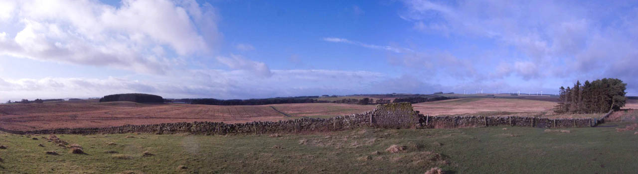
The rather prominent dry stone wall might be the key
-
No old caches found today but I did visit some lovely locations. I also visited a housing estate for http://coord.info/GCE20, a cache published on 30/06/2001 and archived on 01/07/2001 after it was found once (as intended). It seems as though it was used to deliver something to Moss Trooper.
-
This is a very interesting challenge and has provided me with many happy hours searching - I'm lucky that the NE had some fairly active cachers in the early days.
A local cacher mentioned an archived cache placed in 2001 that had recently had a found log but when I looked it was archived in 2011. Still, it's an old date and as the cache is still there it counts right
Getting to GZ it was obvious despite having coords 50m out. So obvious that local walkers had been signing the book.Then I started looking for other archived caches that might still be there. I came up with a list of 6 with the most likely fairly close to the first one. I arrived on site after a lovely drive along remote, gated single track Northumberland lanes to find an interesting looking structure as part of a DSW. Sure enough the cache was still safe and dry so my name was added to the log and photos were taken.
The cache is http://coord.info/GC6012, placed on 03/06/2002 and archived in 2007
An hour after the photo was taken I was in horizontal driving snow.
After that I got greedy and looked for onee that had been archived in 2005 and hadn't been found since 2003. No chance! It was a good walk though and there was a new cache at the end.
Off out again today to try 4 more archived ones. One definitely won't have a container but is 'quirky'
-
I've run few tests today (hard coding some initialisation loops) with some interesting results.
I created a test cartridge in Urwigo
It contains a single Item that has a command that calls a Lua function that displays the size of a variable
The variable starts as an empty string, created in the Urwigo UI so that it will persist when the cartridge is saved.
At the end of my Lua user functions I initialise the string variable in a for loop, concatenating "1" to it, essentially allowing me to control the length of the string.
If I set the string to be 9999 characters long (verifying that it has been set with the command) and save the cartridge then resume all works as expected on iPhone, Android and emulator.
If I set the string to 10000 characters, save and restore it works as before on Android and emulator but the iPhone ends up presenting an empty cartridge without the item in my inventory. I originally noticed this in a cartridge with multiple zones, inventory items and tasks and they all disappeared on load.
I modified the test cartridge to create 2 Urwigo variables and initialised them both 9999 entries and the iPhone cartridge saved and restored correctly.
Obviously this is an extreme case and saving and restoring was slow.
In my cartridge this limit is unlikely to ever be reached by a user (it would require about 59 measurements to be saved) but it suggests that I should either limit the number of measurements or store them in a more compact matter and them let the user page through them one at a time
-
Looking at it from a player's perspective, if I can take unlimited measurements and I'm later presented with five pages to go through (option #2) each time I want to look at something, it could be annoying. There is a slightly related option: when the current notebook item gets "full", create another notebook item to fill the player's inventory and call it "Notes #2". Now, you get to retain your previous notes and start on a new notebook.
Also looking from a player's perspective, I can retain a memory of the last five or ten spots I've been to and in their order. After that, things might become blurred if I don't take notes. If your playing field is very large, you might find people will play the cartridge with a piece of paper or a GPSr so they know where they've been. And, frankly, if I play a cartridge like this, I'll bring out my Garmin 60Csx. It has the ability to draw circles (a proximity circle) around waypoints. I can go to three spots in your playing field and figure out precisely where your three zones are by fiddling with the proximity circles' radius. After that, I get to do the same thing to find the final cache zone. I don't think you'll find too many people who think to utilize their gear to that level, but there's always that possibility. It would make the experience all the more enjoyable to me, though, to do this and have it work well. And feeling good about the way you approach a technical cache is also what caching is all about.
Anyway, I'd suggest to start with "Notebook #1" and begin prepending or appending to the notebook's description string. When it gets to be too long, create a new notebook object. If you're not as comfortable with author script to that level, I would then suggest you take both options #1 and #2: show the old readings until they reach a fixed length and then begin removing the oldest ones.
Thanks for the reply.
It should be easy enough to create additional notebook objects in code when the current one approaches a set limit and set their text from the stored string. As I see it, I have to use this stored string variable (which will have to be created with the Urwigo UI) so that the data gets persisted between saves. Because I would like the data to persist between saves I have to use this single variable will continue to grow with each recording made, making the save file larger and larger. And this brings it back to my original concern regarding memory.
I think I'll do some experimenting to see how large I can get the save file. I have access to Android and iPhone for testing but no Garmins.
-
I've almost finished my cartridge and was wondering about memory usage.
The design is: user has to identify 3 locations and then go to those 3 locations (zones) to get the distance to the final cache. The final cache location can then be worked out (on computer or paper) using trilateration.
Currently the functionality is this:
User has a Measurement Device in their inventory.
When they click the 'Take Measurement' command 2 things can happen:
if they are not in a zone then they are told the current location and the distance to the 3 fixed locations. This information is then appended to the description of a log item in their possession.
if they are in one of the 3 fixed locations then they are told the current location and the distance to the final cache. This information is then appended to the description of a different log item in their possession.
Currently there is no limit to the number of times they can take measurements so the descriptions for the recording items could get huge and I'm guessing that this would be bad!
Options that spring to mind-
1)continue adding to the the descriptions but when they reach a set size loose the old readings,
2)keep the all the readings but put them into a string. When the user wants to look at them present them in a paged format so they only see <850 characters at a time.
Option 1 is the easiest to code but option 2 is nicer for the user, although the string that is stored could still grow very large.
Any thoughts?
Photo Competition - November 2014
in United Kingdom and Ireland
Posted
From the most northerly uk cache, on Shetland, Sexy Muckle Flugga. Amazing scenery with puffins walking right past your feet
This grouse followed me for about 30 minutes during a caching walk in Northumberland last year. It was just before Houx Hill cache and after I'd placed this cache (which has only 5 finds since Jan 2013 so far and none this year)