


gprecon
-
Posts
17 -
Joined
-
Last visited
Posts posted by gprecon
-
-
I just got a new Garmin GPSMAP 276C, and want to install the Mapsource US Topo East basemap. I'm penny-pinching at this point, and I just need to know what minimum capacity data card to buy to achieve this?
Also it is unclear if I absolutely need a data card to achieve this. Does this unit have any on-board memory that can be used for storing basemaps?
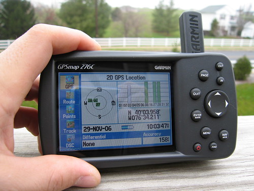
Please excuse the novice nature of my questions. I'm upgrading from a GPSIII (not +), so the concept of manipulating the basemap is totally new to me.

-
I've been working on a web application that displays your Flickr Photos on a Google Map by simply uploading a GPX file that contains your track log. It is designed to be a fun and accessible tool for visualizing and sharing your adventures online.
I got it to the point where I think its ready for public consumption. It is still in early development, so you might encounter problems - in which case, please drop me a line. It could really benefit from some public testing at this point.

Blog entry:
http://ixplor.us/index.php?/entry/introduc..._alpha_version/
Sample map:
http://ixplor.us/map.php?u=cshontz&s=7....gpx&c=7190
Feel free to use it to your heart's content, and let me know what you think. I'm excited to get feedback from other geocachers!
-
What data file format is closest to being the standard when it comes to saving your GPS data to a PC or Mac, or using with GPS software on a PC or Mac?
Would you say GPX?
I'm just curious because I'm writing a little program for my computer that I might share with others, but I don't want to read GPS data from a proprietary file format. I want to use a common format this is already a standard, or close to becoming a standard to maximize compatibility.
Suggestions?
-
Seems to be just another tool for doing something that quite a few programs already do.
This sounds interesting. What other programs do this?
-
I'm probably more a "geophotographer" than I am a geocacher! ... if that makes any sense. I've had a Canon Powershot G2 for a year and a half now, and I take it literally everywhere. Its the best money I've ever spent in addition to a 512 meg CF card!
I recently purhchased Adobe Photoshop Album to manage all of my digital photos and I love it.
I'm setting up my own web site called GPRECON.COM which is basically going to consist of detailed photo albums of my adventures.
Here is my adventure from last Saturday - it is basically a bunch of geocache, scenery, and Jeep pictures:
http://www.gprecon.com/gallery.asp?folder=frackville1

I love "geophotography"!
-
-
Call him Brian.
-
But... it doesn't have an option for listing KOA campgrounds, Six Flags, or Dairy Queens.

-
But... it doesn't have an option for listing KOA campgrounds, Six Flags, or Dairy Queens.

-
I'm not sure what 4x4 to recommend.
-
I'm an active off-pavement driving enthusiast. The ongoing issue of Geocaching's impact on the environment is laughable in comparison.
-
Right now, I only have one GPSIII. Am I the only one still using a plain old GPSIII?!?
However, soon I plan on getting a new GPS176, and I want a new hand-held unit - something a bit more ergonomic than the III, such as an Etrex, a Rino, or a 76S.
-
I tend to spend 30 to 45 minutes at the cache site. I read the log book, usually in entirety, and then I'll sift through and examine cache contents. Quite often, I'll eat lunch while enjoying the scenery. I usually take a bunch of pictures of the area if I find it interesting enough.
-
I once considered attaching an ammo box to the back of my Jeep, but it'd take some hardware and some real know-how to automatically report the position of the Jeep on the web. A ham enthusiast could probably pull it off.
-
I don't use or have a compass. I'm not sure I understand what the use would be.
-
I don't use or have a compass. I'm not sure I understand what the use would be.


New GPS: What capacity data card do I need?
in GPS technology and devices
Posted
Ohhhh. That makes sense. However, I was messing with the MapSource software that came with the GPS and I was under the impression that one uploaded entire maps ... I guess I have to rethink that. I trust there is functionality that allows one to upload parts of a topo map? (ie: some of topo east)
Thanks for your response!